Do you need a Thames Water sewer survey?
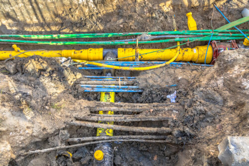
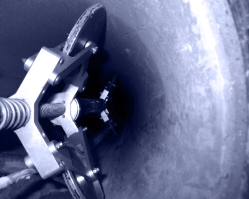
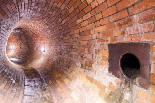
MJ Rees are an approved contractor and trusted partner for comprehensive sewer survey solutions tailored to your project needs. With years of experience in the industry, we specialise in delivering surveys directly for Thames Water and collaborate with developers, companies and individuals involved in ‘build near’ or ‘build over’ projects.
Read more


