10 years of Gyroscopic Mapping
All professionals working in the utility sector are able to recite horror stories relating to statutory authorities’ utility records. Disclaimers on record drawings warning that “…the location of apparatus is given for your assistance and is intended for general guidance only. No guarantee is given of its accuracy” are enough to send shivers down the spine of any experienced surveyor!
Unfortunately, we may have to rely on the record information as the best available source. While some utilities are relatively easily traced, there are limitations to all traditional non-intrusive locating methods including electromagnetic location (EML) and ground penetrating radar (GPR). In these instances, data will be issued with appropriate disclaimers, advising against reliance on the ‘surveyed’ position of buried assets, without further (intrusive) investigations.
You may think that the records do not show the service position correctly, but surely you can rely on the route being straight between the points as shown? What the warning on the service record drawings does not get across is that not only may the utility be in the wrong position, but that the route can be anything but straight.
As chartered land surveyors, M J Rees have been in the utility detection and mapping business since 1979.
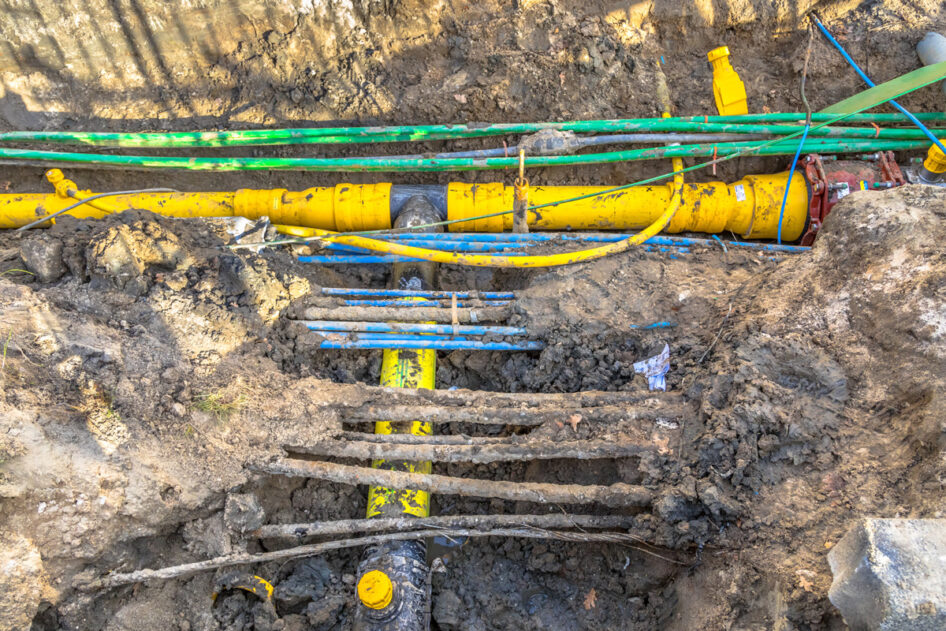
In 2012, to complement its EML and GPR capability, the company introduced the gyro technology Reduct to assist its work in high-risk environments. This system records the 3D profile to the centimetre level of accuracy, regardless of the depth of asset, condition of surrounding ground or pipe material /condition.
The equipment is able to provide accurate 3D co-ordinates of the pipeline or sewer for its entire length from accurately co-ordinated start and end points. No access is required to the ground above the service, as is the case with a radio sonde, and there are no depth limitations on accuracy.
Reduct DR-HDD-4.2 is a unique gyroscopic inertial pipeline measurement and mapping system designed to provide accurate 3D positional information for pipeline installations including:
- traditional trenching
- horizontal directional drilling
- pipe ramming / bursting
- tunnelling
- and the rehabilitation and/or maintenance of existing pipelines.
Using a range of interchangeable wheel sets, the system is adjustable to fit internal pipe diameters from 125mm up 2000mm plus.
Inertial measurement systems contain a range of inertial sensors including gyroscopes and accelerometers – together these form the Orientation Measurement Unit (OMU). The inertial measurement system in Reduct samples at up to 100 Hz, the sensor data is then calibrated with precise start and end co-ordinates to calculate gyro alignment and changes in x, y and z directions.
Reduct is configured with centralising wheel sets. In this mode of operation the gyro is kept aligned to the pipe by the wheels which are ‘sprung loaded’ to keep the system in a known position relative to the pipe diameter.
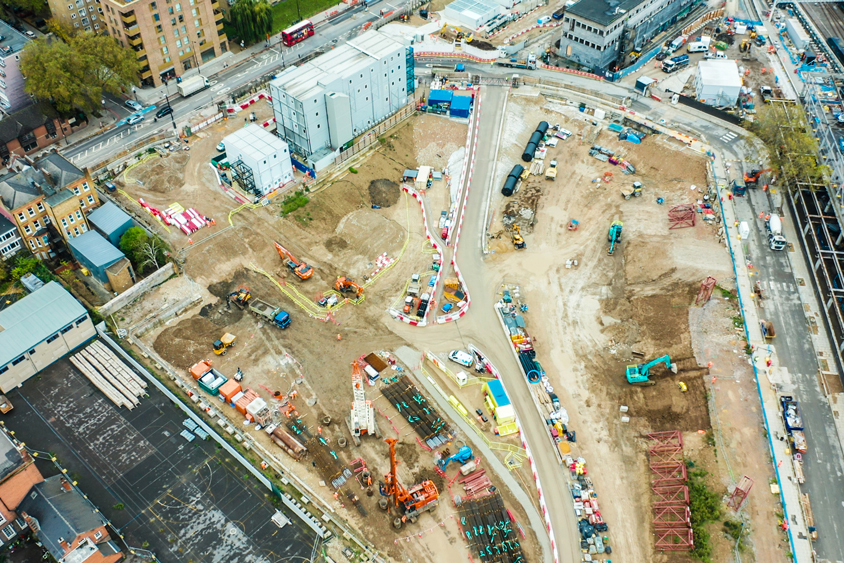
Gyroscopic mapping in action for HS2
See how we used the Reduct gyroscopic pipe mapping tool on the HS2 project.
Read our case studyConclusions
- Even over short distances, sewers and other utility routes can have significant deviations from the straight line.
- The same technology can and has been used for gas pipes, water pipes, telecoms ducts and horizontal directional drilling routes.
- The process of detecting, verifying and locating buried assets is a highly skilled task, one that should be entrusted to experienced and qualified surveyors.
- M J Rees’s reputation is built on advising its clients and supplying surveys using the appropriate and most cost-effective technology for the specific need.
- Right now, with its experience of proven gyro technology, M J Rees is helping numerous clients overcome design issues, avoid health and safety risks, and prevent the delays that these challenges can cause to projects.
- Other forms of underground mapping techniques regularly applied include 3D Laser Scanning, Sahara survey and Radio Sonde.
For more information contact Robert Brassington or Sarah Hurley.
Tel 01454 252930
Email survey@mjrees.co.uk