PAS 128 Survey – Underground Utility Detection and Mapping
Accurately mapping the location of on-site utilities is critical for many projects. Locating these allows for construction operations such as piling, excavations and groundworks to be carried out safely and without risk of damaging existing infrastructure.
Our PAS 128 surveys provide the vital information required to avoid the disruption and expense of a utility strike.
We work under PAS 128 – the specification produced by the British Standards Institution (BSI) for utility surveys.
Using our ground penetrating radar (GPR), electromagnetic location (EML) tools, along with our Reduct gyroscopic system, we can locate water, gas and electricity, telecommunications and communications cable systems, oil and fuel pipelines, drains, sewers, culverts, duct and tunnel systems.
We use CAD software to process data and deliver high quality comprehensive plans of all utilities found on the site. We can either map our findings on drawings supplied by our clients, or on our own topographic survey. Reports can also be produced on request. For projects requiring more specialised surveys of deeper utilities such as sewer line-and-level and condition, take a look at our Line and Level services.
Ground penetrating radar (GPR)
If you’re looking to find and mark out buried services, underground tanks, voids or other features beneath a site, we’re on hand with our GPR tool.
An integral part of our suite of buried services location techniques, GPR operates by transmitting pulses of high frequency radio waves into the ground to map metallic and non-metallic sub-surface structures and features. The tool can work at varying depths dependent on the ground conditions and size of the object. Our team uses two types of GPR unit – an Opera duo and dual antenna Hi-Mod IDS unit. Our experienced surveyors interpret the radargram results and generate a report mapping out existing features and services.
Frequently Asked Questions
What is a PAS 128 Survey?
A PAS128 survey is a specification developed by the British Standards Institute (BSI) that outlines the best practice for detection, location and verification of buried services.
Introduced in 2014 it ensures standardised utility mapping and enables clients to specify the quality standard and obtain like for like quotations. Within a drawing each service has a quality level associated with it. This shows the accuracy the line has been traced to. A quality PAS 128 survey will minimise excavation risks and support infrastructure planning.
When might I need a PAS 128 survey?
If you are planning excavation work or the re-routing of services, you would need an underground services survey. Not only is striking an underground service potentially lethal, but it will also cause disruptions and costly delays to your project. It is a requirement of the Health and Safety at Work Act and CDM Regulation to have had an underground services survey carried out. Specifying PAS 128 will ensure safety, accuracy, and full compliance with regulations.
Example of key circumstances where one might be required, include:
- General Health & Safety Compliance
- Before Excavation or for a Construction project
- Any infrastructure or Road Development project
- Utility Maintenance & Repair
- Site Redevelopment & Land Purchase
What are the PAS 128 types?
The PAS 128 specification classifies underground utility surveys into 7 different types based on the methods used. The different quality levels help determine the accuracy and confidence level of the detected services.
Starting with the highest level (QL-A) the different types are outlined below:
Quality level A Verification through excavation of services
Quality Level B1 Non-intrusive verification through two or more methods of detection for position and depth
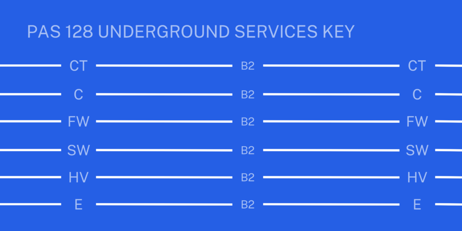
Quality Level B2 Non-intrusive verification through one method of detection for position and depth
Quality Level B3 Non-intrusive verification in position but depths deemed to be unreliable
Quality Level B4 An assumed route or assumed connection
Quality level C Records data that has been verified on site through the presence of manholes, scars, valves etc
Quality level D Data is from records only and no evidence of it appears on site, though its presence should be anticipated
What is the appropriate PAS 128 type for your site?
Which PAS128 survey to choose is based on the work to be carried out and the way the information is to be used. It depends on factors such as project scope, site conditions, risk levels and the required accuracy.
Firstly, you need to define the project requirements and the purpose of the survey. Secondly, you would assess the site conditions, is the site likely to contain a high density of services? For example what is the ground composition?
You would then decide the level of accuracy appropriate for your site. The table below provides an overview:
| Requirement | PAS 128 Type | Methods Used | Comments |
| Initial planning, low-risk area | Type D (Desktop Survey) | Records review | No site visit, desktop exercise |
| Site walkover, verifying visible utilities | Type C (Site Reconnaissance) | Visual inspection | Combines Type D with inspection. Services not traced |
| Non-intrusive detection, moderate accuracy needed | Type B (Detection Survey) | GPR, EML, Manhole Lifting, Gyroscopic | Method most used for site investigations, uses geophysical techniques to map services. |
| High accuracy, confirming utility locations | Type A (Verification Survey) | Trial pits, vacuum excavation, hand digging | Intrusive, exposes utilities |
What methods and techniques are used for underground utility detection and mapping?
We use the following methods and techniques to map services and assist with producing the most accurate drawings.
Lifting manhole covers Allows tracing of pipes and ducts as well as collecting manhole information to PAS128 quality level A. Measures are taken from the surface but more accurate information can be gathered by entry in accordance with confined space regulations.
EML Electromagnetic Location, useful for tracing cables and pipes through direct connection via a valve for example or with a sonde to PAS128 quality level B2.
GPR Ground penetrating radar, useful for locating objects underground that might not be seen or have access to a connection point. When combined with other location methods it is possible to upgrade data to quality level B1.
Passive sweeps Searches for background signals given off by cables passively using radio and power modes; quality can vary from B3 – B2.
Gyroscopic mapping Accurate alignment information by passing a tool between known start and end points. Independent of depth and not prone to interference.
Dye testing Uses non-toxic coloured dyes to trace flow in drainage and sewer systems.
Record Search Otherwise known as a desktop study. Essentially, it’s a request to statutory providers for drawings showing the location of assets. Ideally these are obtained before a site survey. The records are only indicative and cannot be relied upon as accurate information.
Topographical survey of ground services features such a valves, manholes, lamp posts, cables and pipes into ground.