Reduct
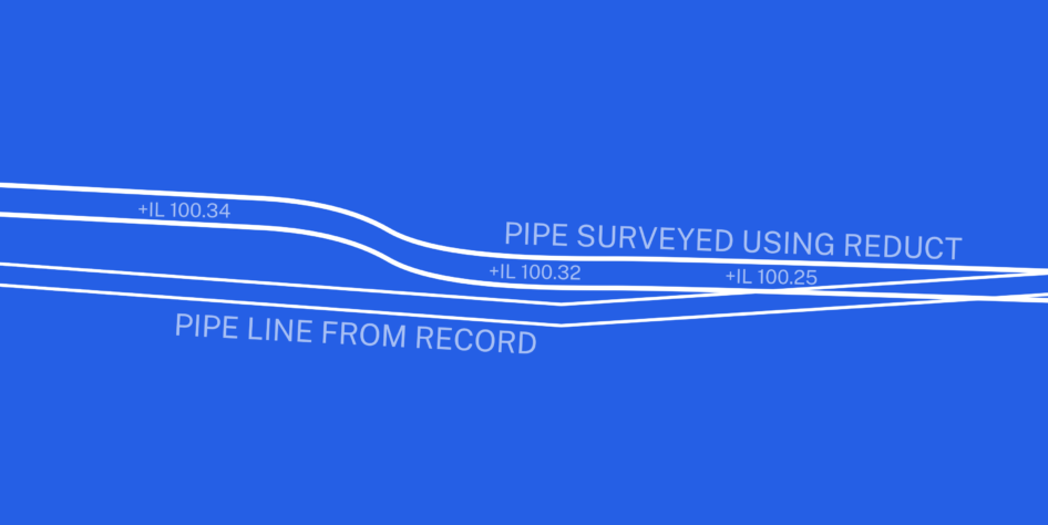
Reduct is a unique, gyroscopic tunnel and pipeline mapping system which allows us to obtain accurate geospatial data of subsurface utilities on a site. This minimizes the risk of damage to existing infrastructure and helps our clients complete their projects safely and effectively.
The tool has several unique benefits. It can be used on any type of pipe material, including steel, in any utilities sector. The autonomous logging system means there’s no need to trace the probe as it travels through the pipe. And it can be used near live power lines and railways as it causes no electromagnetic interference.
The data recorded by the Reduct tool is presented as a highly accurate 3D alignment of the pipe length that has been mapped.


