Time-tested processes from trusted people
Welcome to MJ Rees. We’re a long-established, chartered land surveying practice delivering tailored, integrated services to a range of clients across multiple sectors.
Our friendly, expert team of land surveyors offer elevated levels of quality and personal service. With 50 years of experience under our belt, we’re the trusted partner you can rely on.

Thames Water sewer surveys
Do you need a Thames Water sewer survey? MJ Rees are an approved contractor and trusted partner for comprehensive sewer survey solutions tailored to your project needs. With years of experience in the industry, we specialise in delivering surveys directly for Thames Water and collaborate with developers, companies and individuals involved in ‘build near’ or ‘build over’ projects.
Send us an enquiry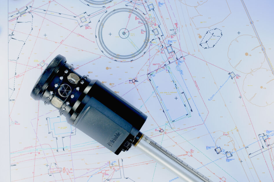
Land Surveyor Services
We’re a multidisciplinary land surveyor practice offering a fully integrated approach. With a diverse range of individual skills, expertise and experience, there’s always a member of the team on hand to meet your unique project requirements.
Discover our servicesWords from our clients
Don’t just take our word for it, here’s what our clients had to say.
-

Fantastic job, thanks for carrying out all pre and post crossing surveys diligently and on time. You are for sure on the top of my list for any future survey.
National Grid -
Your package of work has been received very favourably and I’ve been asked to pass our appreciation for a job well done. So, well done.
Network Rail Infrastructure Ltd. -
Effective communication. Required minimum input from us once we gave the outline and details at the beginning. On-time site work completion and reporting. Competitive pricing and honesty.
Ramboll UK -
Excellent, great job. Thanks for all your hard work.
Thames Water -
Thanks for all your very professional help with schemes gone by.
Crossrail -
Thanks for hitting all the deadlines as requested. It is appreciated.
AWW Architects
Updates
See all updates
The difference between relative and absolute accuracy
Accuracy is a commonly used term but is often not understood. In simple terms accuracy refers to how close a measurement is to the true value. In relation to survey, accuracy is often referred to in the context of Relative Accuracy and Absolute Accuracy.
Read more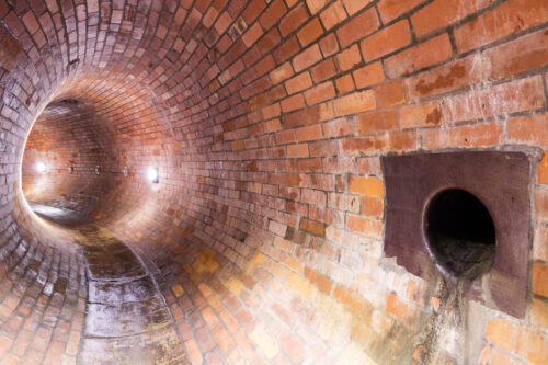
Do you need a Thames Water sewer survey?
MJ Rees are an approved contractor and trusted partner for comprehensive sewer survey solutions tailored to your project needs. With years of experience in the industry, we specialise in delivering surveys directly for Thames Water and collaborate with developers, companies and individuals involved in ‘build near’ or ‘build over’ projects.
Read more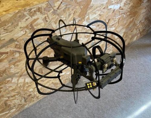
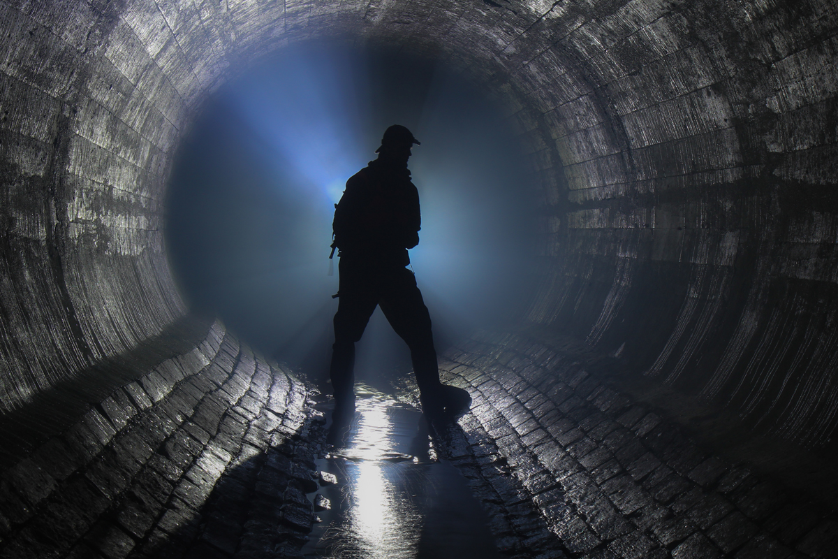
We are pleased to introduce our cutting-edge Confined Space Drone Services
As the survey industry continues to evolve, so do the methods we employ to enhance safety, efficiency, and overall productivity. We are pleased to introduce our cutting-edge Confined Space Drone Services.
Read more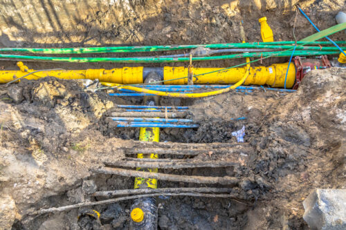
10 years of Gyroscopic Mapping
As chartered land surveyors, MJ Rees have been in the utility detection and mapping business since 1979. In 2012, to complement its EML and GPR capability, the company introduced the gyro technology Reduct to assist its work in high-risk environments.
Read more